The SCACR will be held in Bari from 9-11 September 2019, the event that brings together students, researchers, theorists and model makers, designers and professionals in the field of coastal and port engineering with the aim of providing information on the latest developments in engineering coastal, port and offshore and to exchange views with users and stakeholders of the coastal area. In addition to workshops held by experts, numerous technical articles are presented during the specialist sessions. During this initiative, the TAO project and its objectives will be presented by CIRI EC.
Jun, 2019

6/7 June 2019: TAO at R2B Bologna
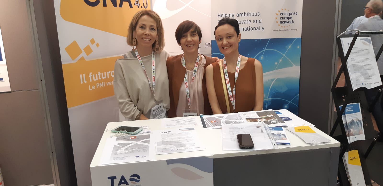
On the occasion of the annual “Research to Business” fair held in Bologna, this year the TAO project was presented on 6 and 7 June 2019 to visitors to the fair who asked for information at the stand of Proambiente and CNA Innovazione.
15 May 2019 Kick off project meeting
It has been organised last May 15, 2019 the Kick off of the TAO project (Technologies for Agio cOstiero monitoring), funded by the 2014-2020 POR-FESR of the Emilia-Romagna Region, which aims to develop innovative technologies for monitoring the coastal strip in the beach area “Active”, that is, between the maximum wave rising limit and the maximum depth of interaction of the currents with the seabed, in order to investigate the dynamic mechanisms that cause coastal erosion and to evaluate the effectiveness of the defense works. The project unites, in a public-private partnership, 5 regional laboratories for technology transfer and 4 private companies. The goal of the project is the creation of a technological platform consisting of mobile and fixed monitoring stations with low environmental impact and low cost, for the investigation of coastal and supra / sub-coastal areas. It will be accompanied by an instrumental park developed ad-hoc and will allow the creation of 3D models of the seabed and substrate based on morpho-bathymetric reliefs, surface stratigraphies and areal distribution of sediments. It will also allow you to take water samples, to acquire images of the shore line and through the processing of biotic and abiotic data to assess environmental conditions.


